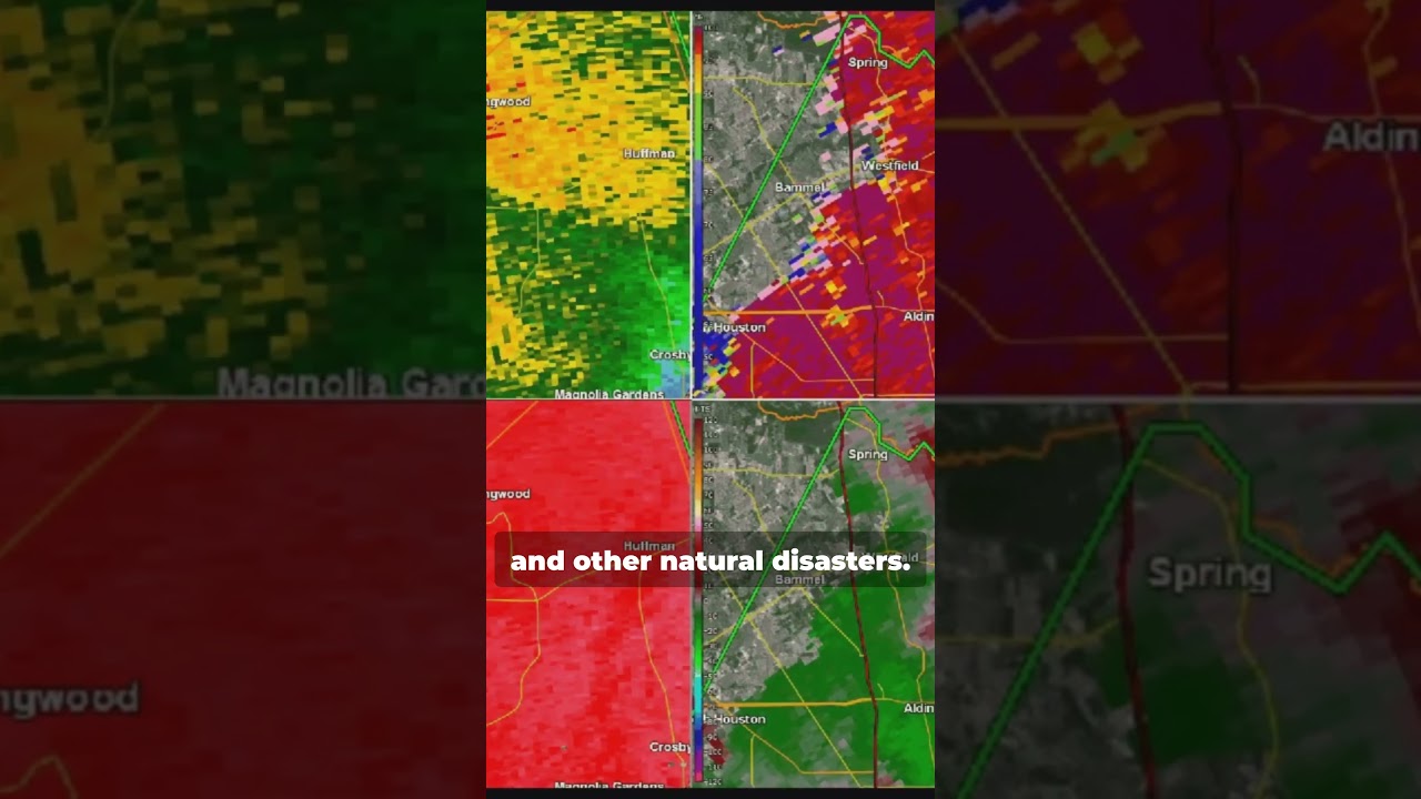
🌪️🚨 Climate emergencies like hurricanes and wildfires are on the rise. How can early-warning systems and satellite tech revolutionize our response strategies?
📉🌍 Explore more on the Geoawesome EO Hub!
https://geoawesome.com/eo-hub/building-early-warning-and-monitoring-systems-to-mitigate-the-impact-of-climate-related-emergencies/
#ClimateChange #SatelliteMonitoring #EarlyWarning #Wildfire #geoawesome
Sources:
https://www.nbcnewyork.com/weather/ian-intensifies-to-catastrophic-category-4-hurricane-direct-florida-hit-expected-sooner-track-it-here/3883917/
https://gizmodo.com.au/2022/10/aerial-images-show-alarming-extent-of-hurricane-ians-devastation-in-florida/
https://www.jpl.nasa.gov/images/pia25426-aria-maps-damage-in-fort-myers-from-hurricane-ian
https://eu.usatoday.com/in-depth/graphics/2022/09/29/annotated-maps-videos-hurricane-ian/10459976002/
https://www.unwater.org/news/wmo-report-state-global-climate-2023
https://www.greeninfo.org/work/project/early-warning-system-v2
https://www.un.org/en/climatechange/early-warnings-for-all
https://news.berkeley.edu/2019/04/15/early-warning-for-wildland-fires-there-could-be-an-app-for-that/
https://www.un.org/en/climatechange/early-warnings-for-all
https://www.reddit.com/r/gifs/comments/ird9kq/united_states_west_coast_wildfires_from_space/
https://commons.wikimedia.org/wiki/File:Campfire_-_NASA.gif
https://ourworldindata.org/grapher/annual-number-of-fires
https://www.nesdis.noaa.gov/news/thermal-satellite-imagery-shows-variations-northeast-us
https://www.satellitevu.com/press/world-first-in-high-resolution-satellite-thermal-imaging-defines-new-era-of-climate-monitoring
https://ororatech.com/up42-and-ororatech-on-demand-sensor-tasking/
https://svs.gsfc.nasa.gov/vis
https://www.weather.gov/hgx/20220108-tornadoandflooding-houston
https://oceanservice.noaa.gov/news/sep22/ngs-storm-imagery-ian.html
source


