In May 2025, record rainfall in Australia’s New South Wales created major flooding along the coast. In Taree, a mid-North Coast city, the Manning River reached a height of 6.4m on May 21st. The previous record of six meters was set back in 1929. The torrential rains have left almost 800 properties and counting uninhabitable in New South Wales.
South Australia was hit in late March through early April 2025. Extensive rainfall in Queensland in March sent floodwaters down the Kinipapa (or Cooper Creek) into the South’s outback township of Innamincka. Landsat images show the area before and during the flooding. Pasturelands, settlements, and protected national areas became inundated with floodwater, prompting massive road and park closures. The water levels peaked around 14.5m, a little over 47ft, near the Innamincka Causeway, surpassing the previous flood record set in 1974.
Thanks to Landsat’s decades long satellite archive, scientists and emergency managers can use images from 1974 to help gauge the scale and extent of the current flood. By comparing 2025 conditions to 1974 imagery, responders can better understand how the landscape has changed, what areas are at risk, and how best to prioritize response and recovery efforts.
While the rainfall has devastated areas upland, floodwaters from Queensland have been making their way into Kati Thanda-Lake Eyre, the second largest salt lake in the world. The lake has been filling at an unprecedented rate, allowing native vegetation to flourish.
The Landsat program provides the tools to track significant environmental changes like those caused by flooding. Using Landsat images to document natural disasters can help mitigate damage in the future.
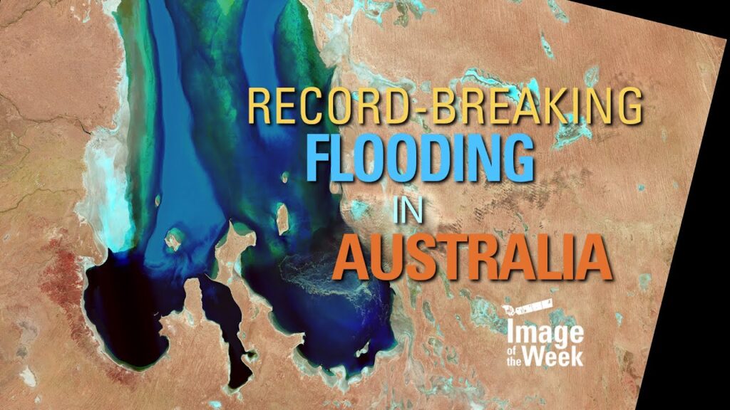
⬇️ USGS Video ⬇️
https://www.usgs.gov/media/videos/record-breaking-flooding-australia-image-week?utm_source=youtube&utm_medium=usgs&utm_campaign=css-landsat-fy25
🔔 Subscribe to @usgs for more science content! 🔔
📊 Watch @USGSPresentations for presentations.
🔨 Watch @USGSTrainings for training/how-to related content.
source